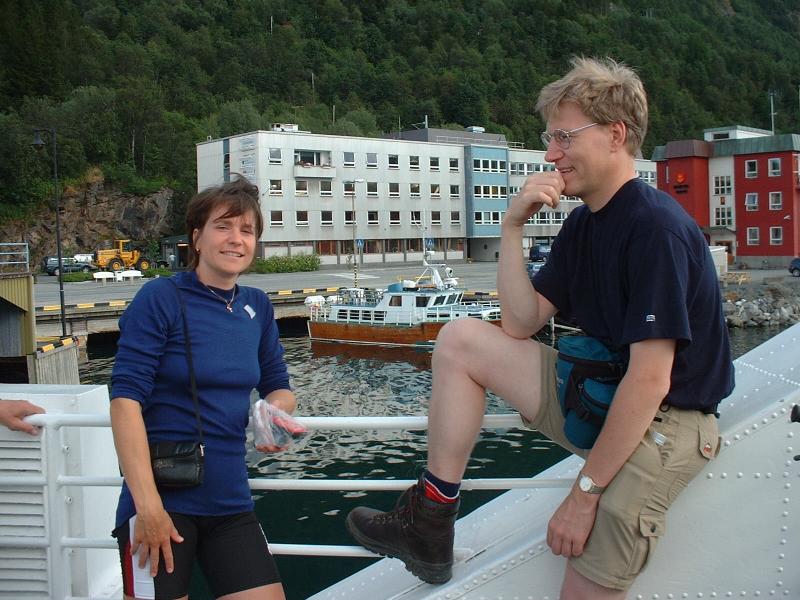
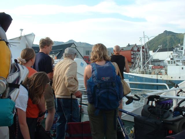
We took a boat from Narvik to Svolvär/Lofoten.
We took a boat from Narvik to Svolvär/Lofoten.
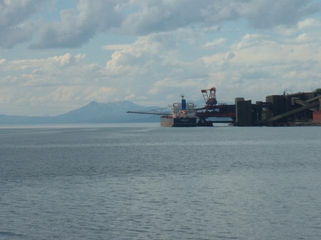
The boat has stopped at several harbors to put down/pick up people on the
way to Svolvär and it took almost 4 hours to reach there. It was a
mild voyage because I was released from boatsick whole the way.
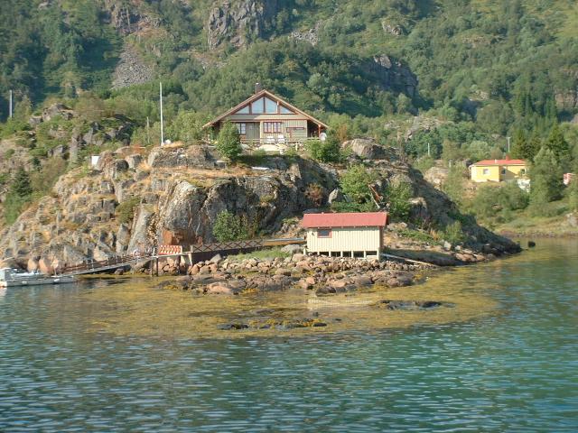
One of the harbors. People with bicycles left a boat there.
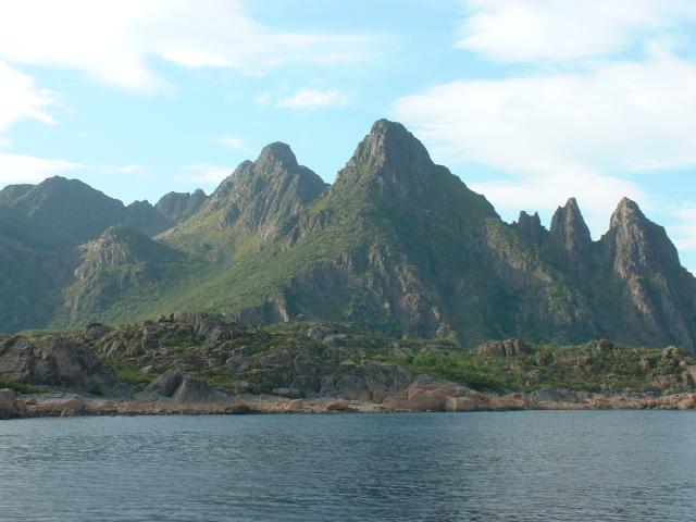
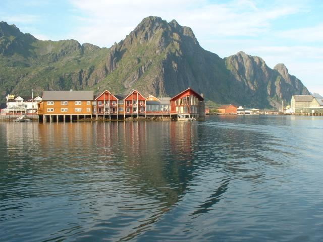
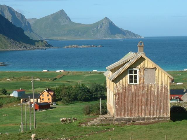
This is a typical view of Lofoten's island from the boat.
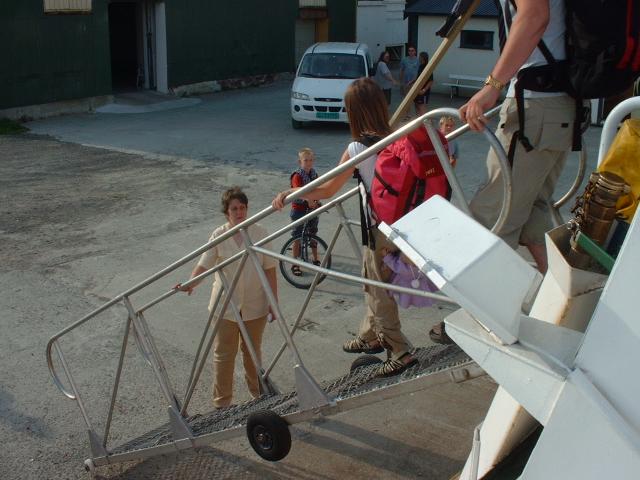
We arrived to Svolvär and people got off the boat.
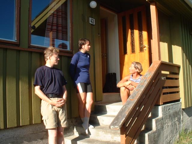
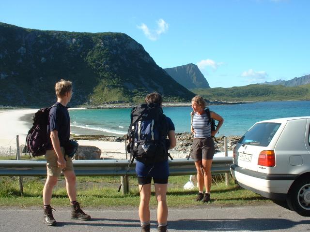
Maggan (Anna-Karin's friend) drove a car to Vikspollen where people can
expect to sun-bath at the white sand beach. The color of the sea was
incredibly blue and clear. But we didn't plan to bathe but go up the top of
Himmeltinden.
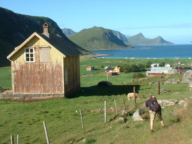
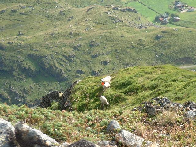
Johan found his photo-motive: sheep and old farmshed(?). There are farmjards
in valleys among very steep mountains there.
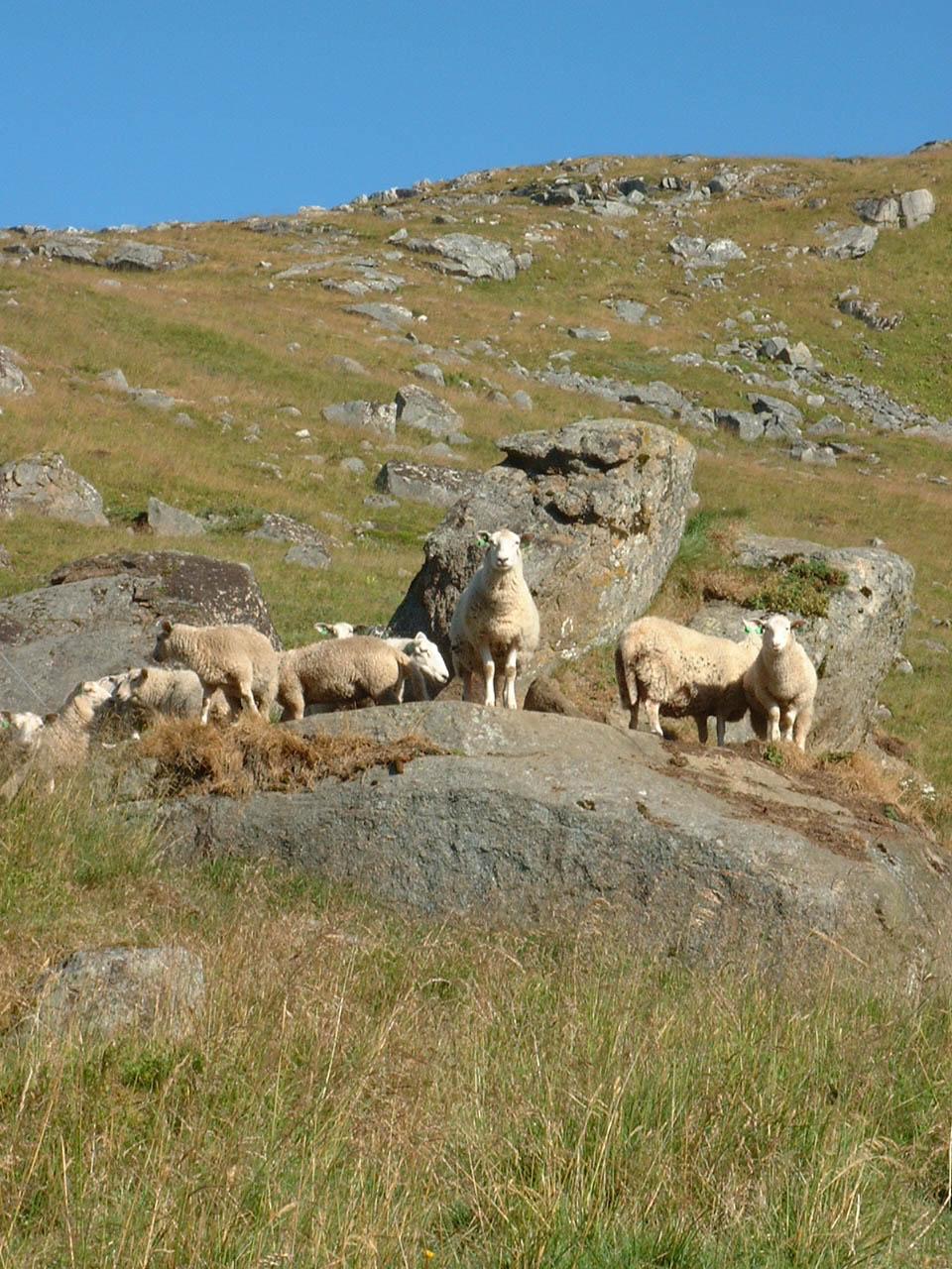
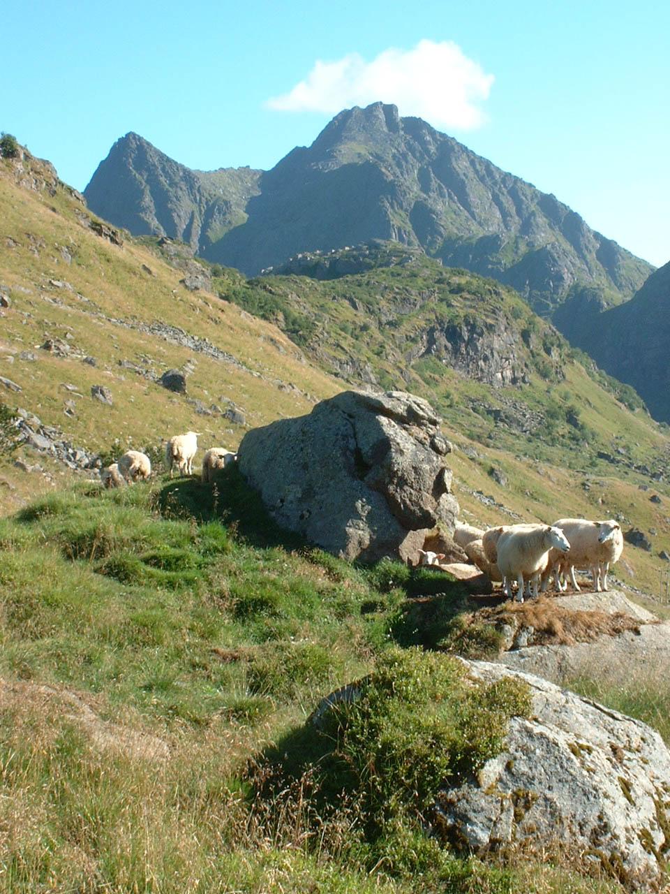
There were so many half-wild sheep here and there. Some of them were very
provocative (or aggresive) against human (!).
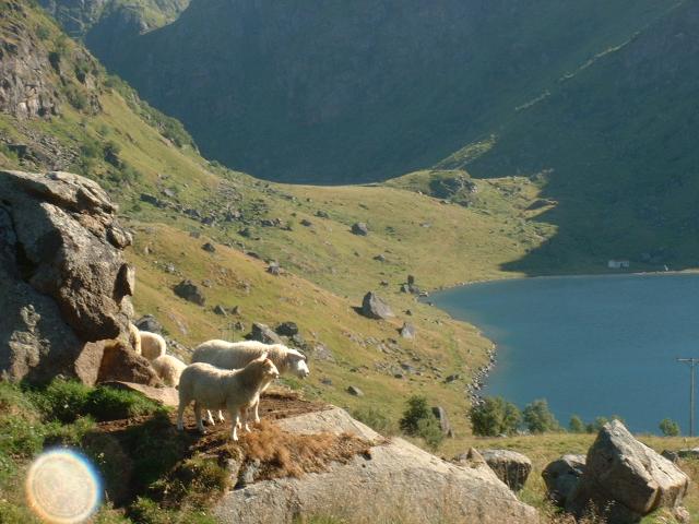
But it was a very nice landscape with steep mountain valley and half-wild
sheep.
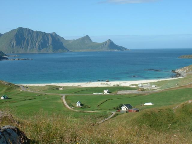
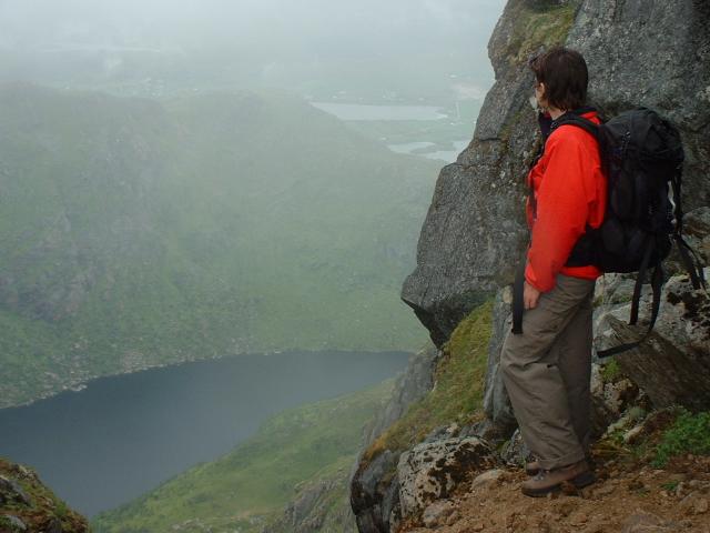
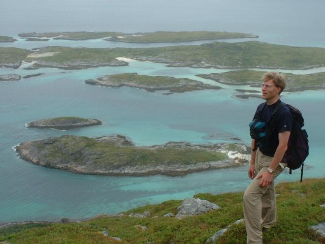
The view from Tuva. You can see the while beach. Actually for personal sense
of me, it was quite a miscombination with white-sand beach and farmland (!!!)
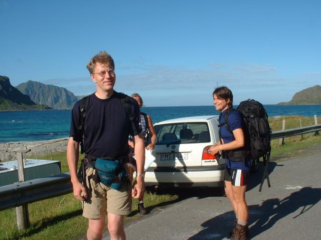
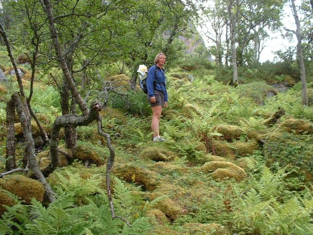
Anyway we went toward Himmeltinden.
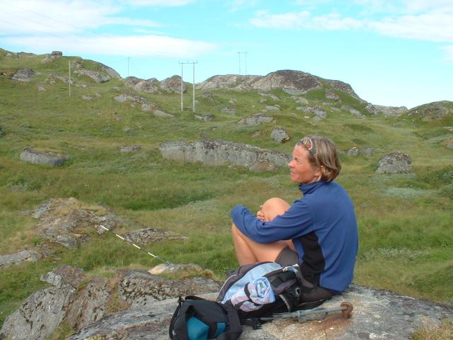
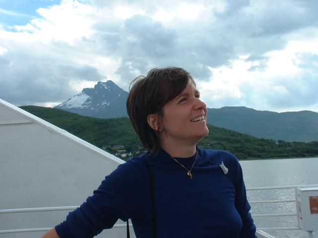
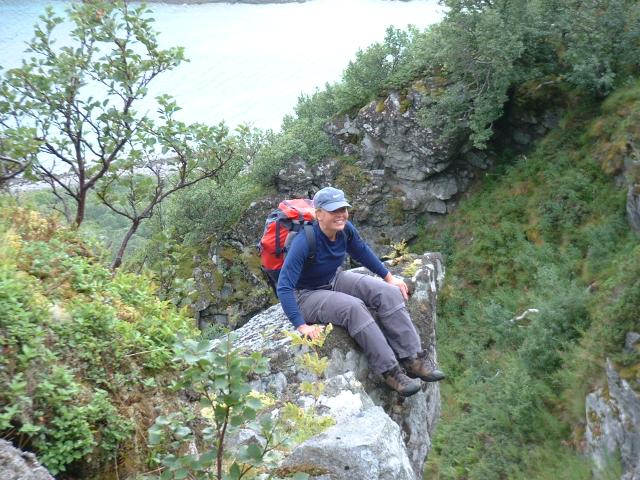
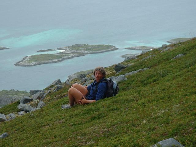
Maggan became philosophical...

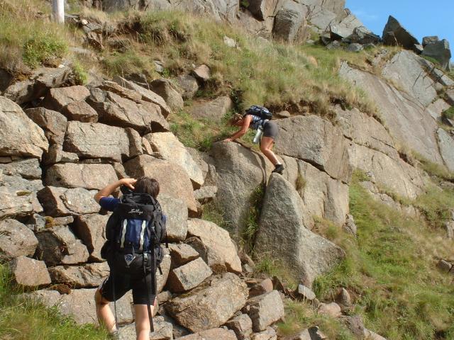
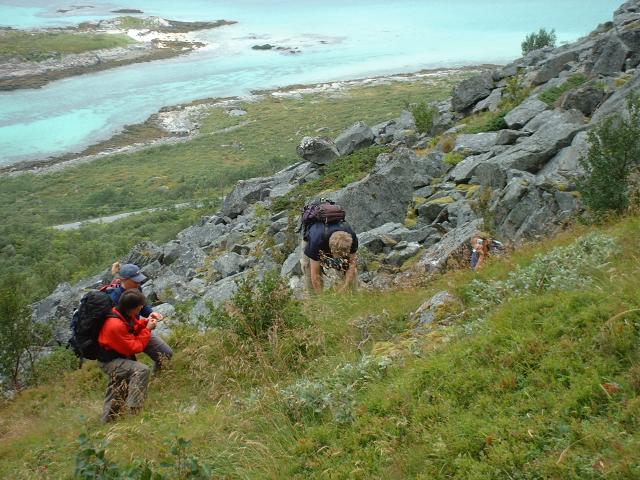
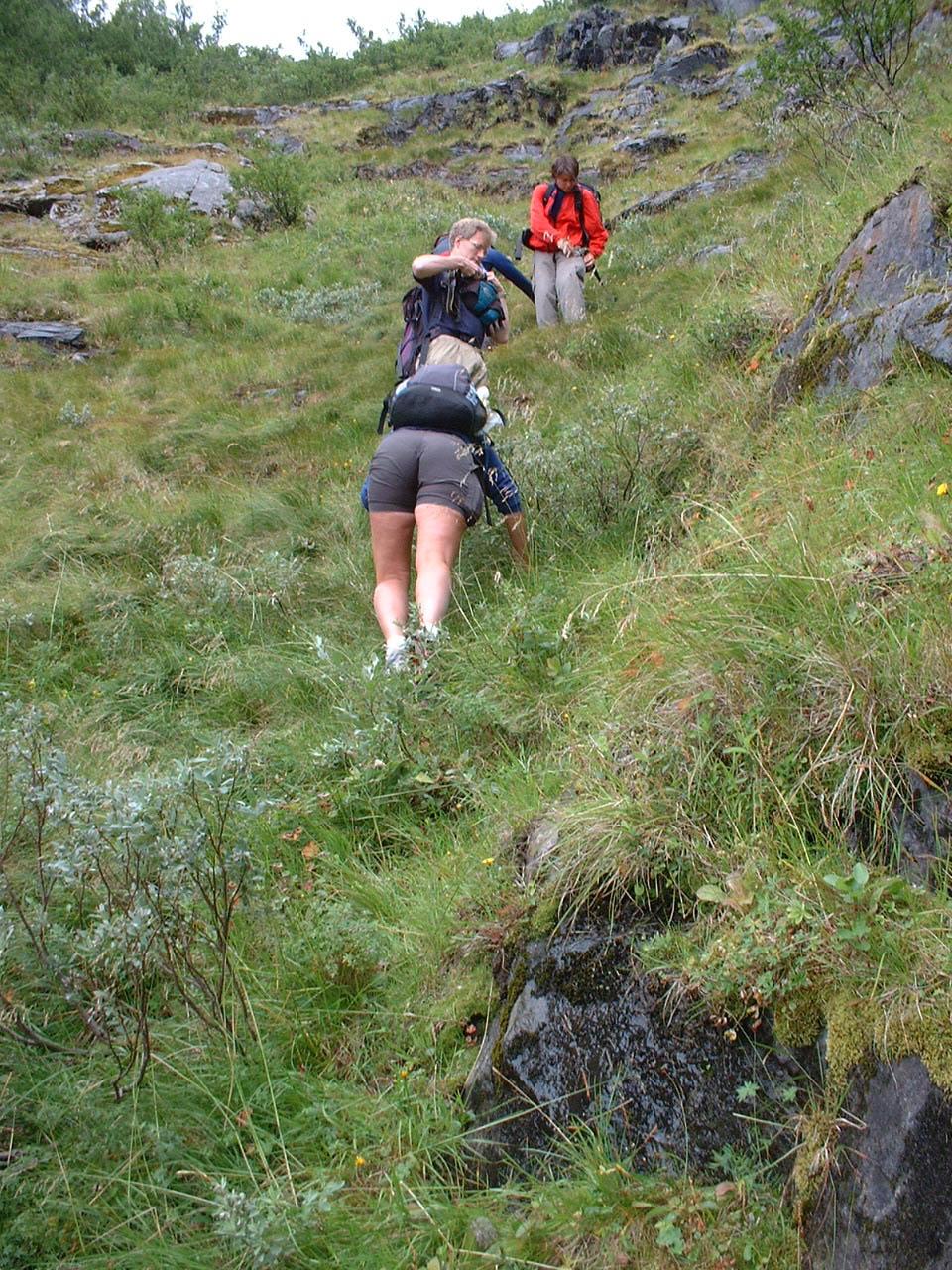
It was sooooo steep to go up along the trail.
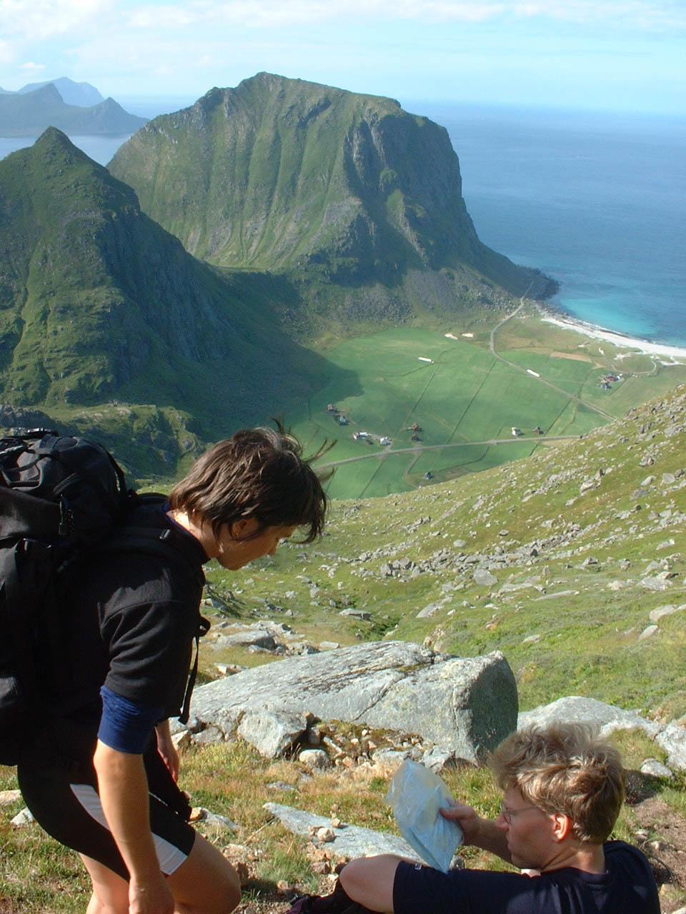
We took breaks several times. Because it was so hard to keep the tempo
at least for me.
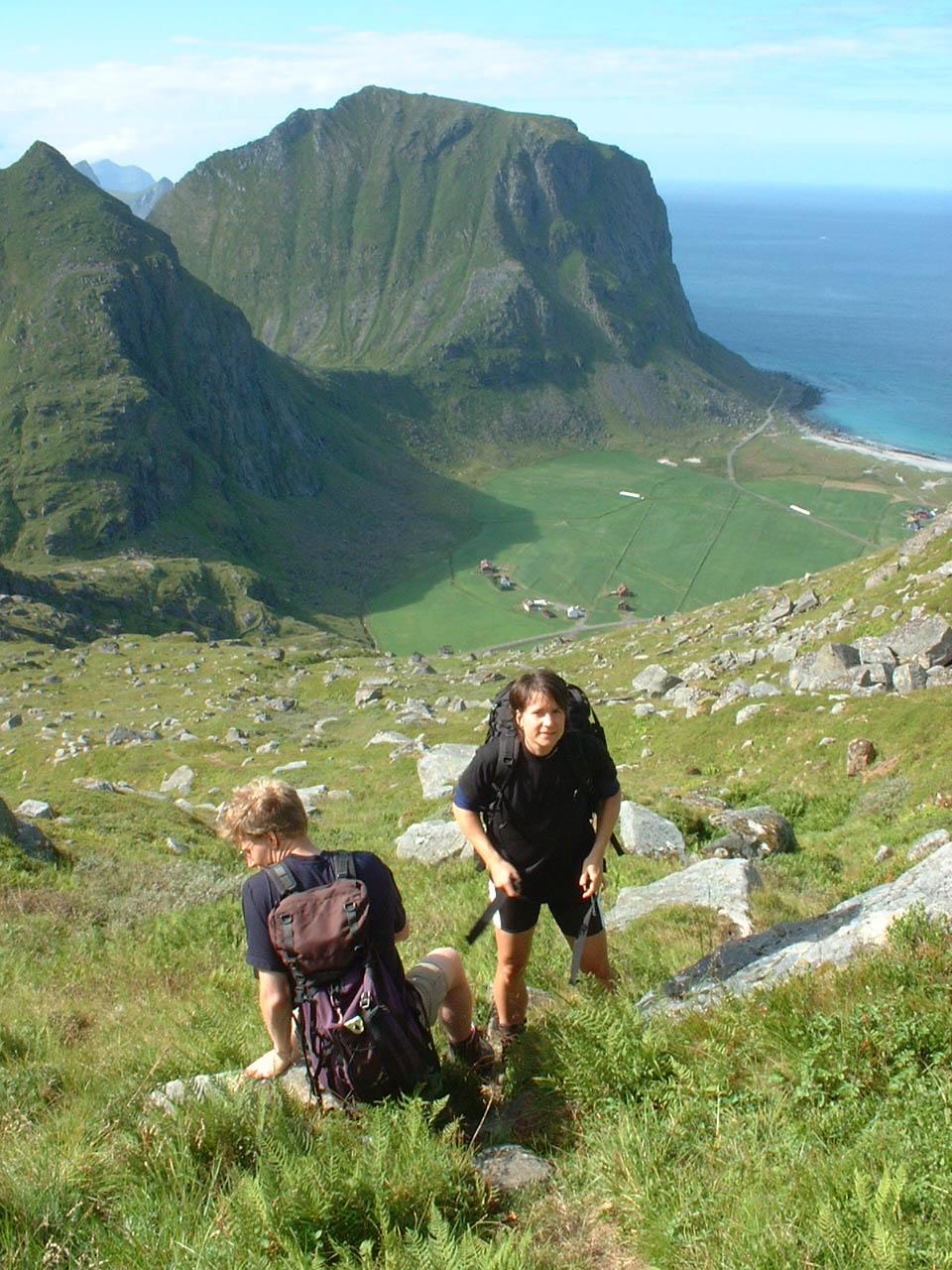
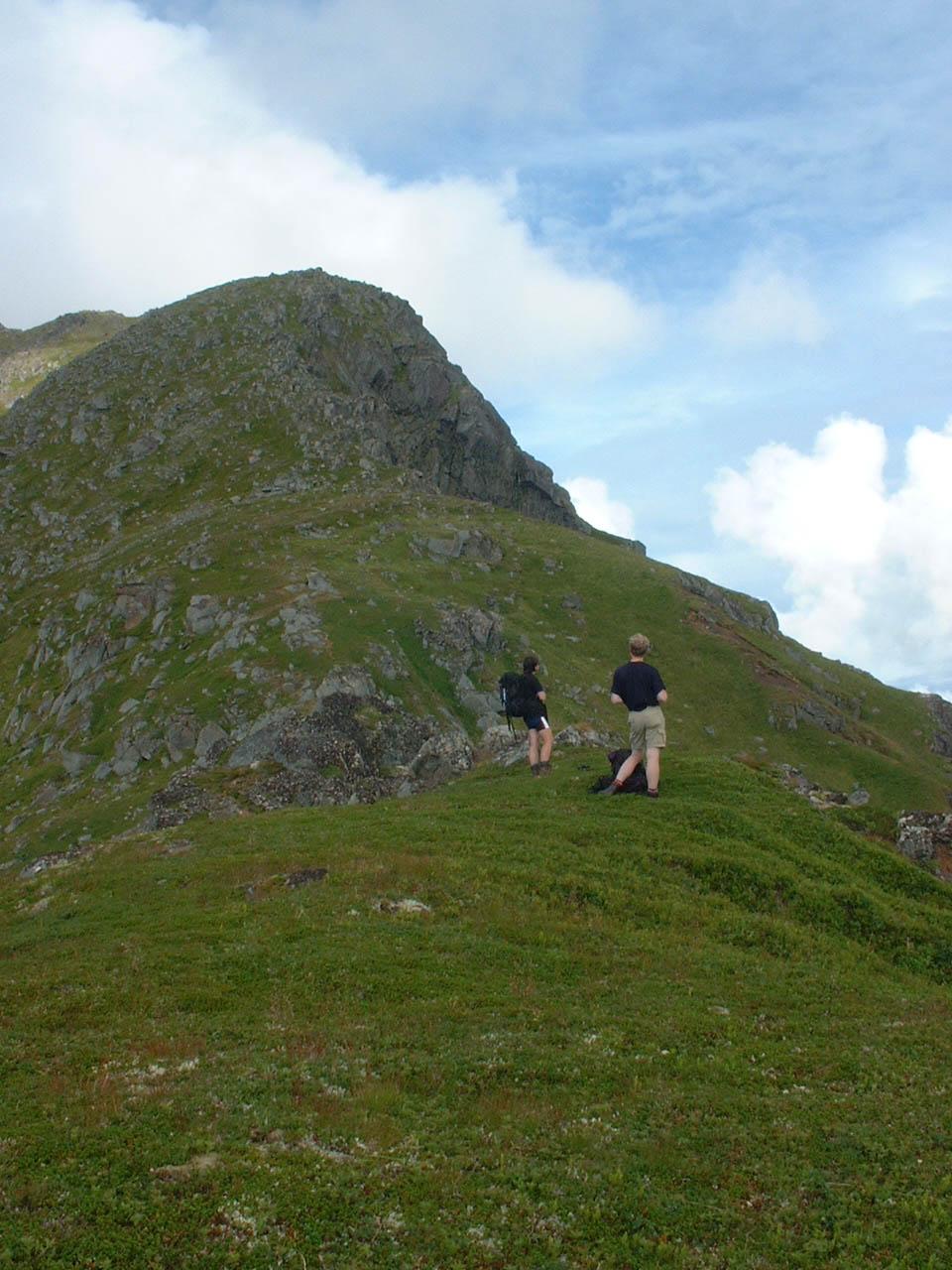
The middle of the picure is the top of Tuva. In fact we've planed to go up
first to Tuva's top, but it seemed we've taken a little bit different path...
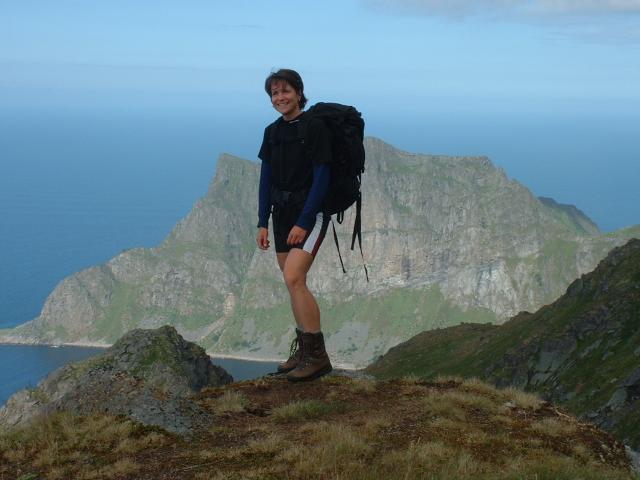
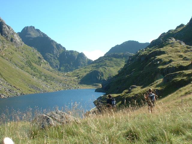
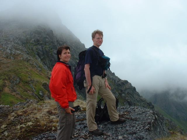
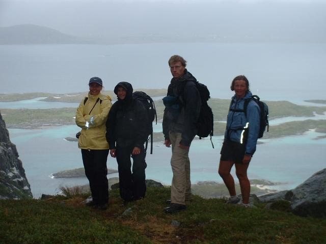
Behind Karin, you can see Steinfjorden (a name of fjord sea) and Björnskardryggen (a steep mountain).
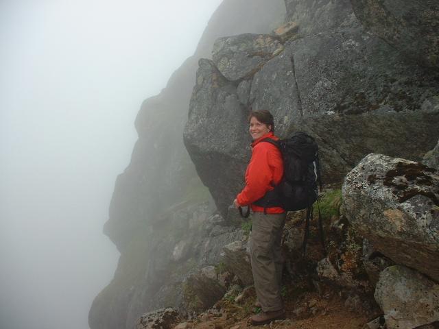
Suddenly it became foggy and when we've been at the top we've never gotten
a chance to see below us.
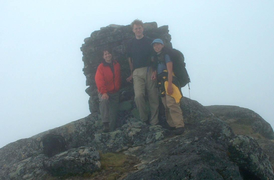
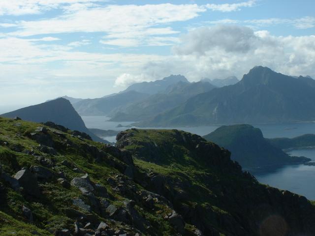
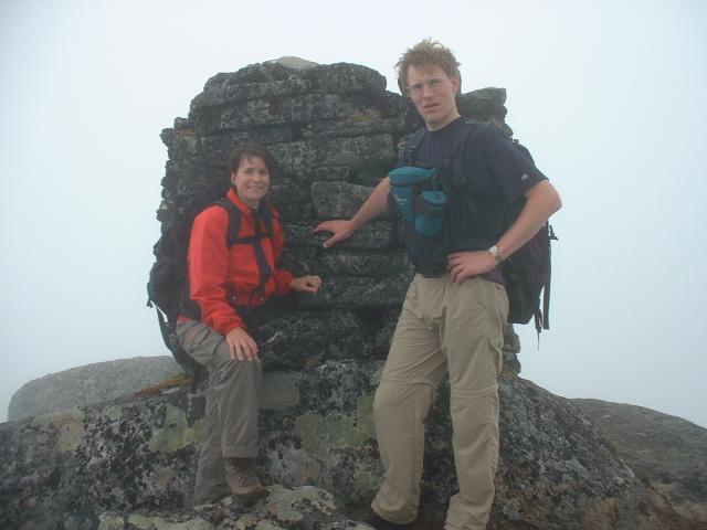
Anyway we took a top-photo!
About an half hour later, it became better but still was humid.
On the way down, we went to the top of Tuva and the weather became clear
as well as its beginning. South slant of Tuva seems definitely too steep
to go up and down for mankind, but for sheep...
After this hiking, I've gotten a terrible stiff-after-training on legs...
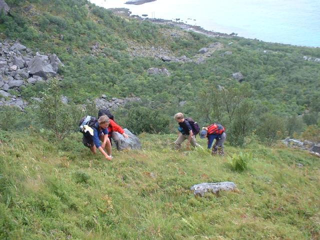
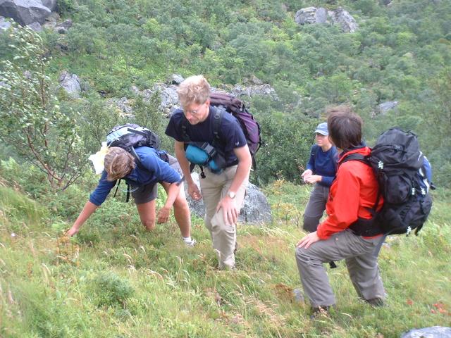
We could not find any trail, but luckly found a blueberry field. We went up
picking and eating blueberry!
It's not an easy hiking, we almost crawled up there!
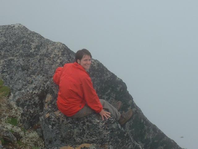
This is Anna-karin's favorite photo-style!
The area is called Lyngväret and I don't know it means, but it is a
kind of camping/outdoor activity site. It looked like a coral which can be
seen in the sea. Maggan called it "Caribbean sea".
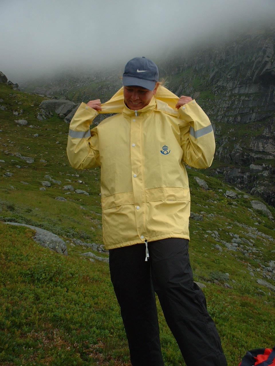
The weather became worse and Anna-Karin put a "posten (post office)" raincoat
on her. I don't know the circumastance how Anna-Karin got it, but anyway
she seemed to be glad to put it on her. And we all took a picture of her!
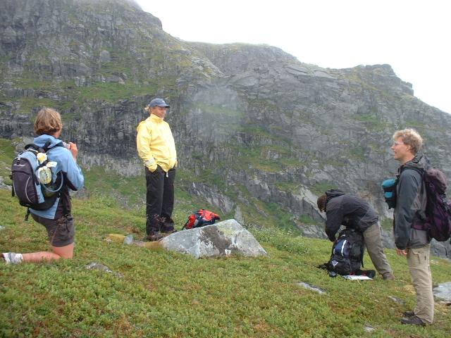
We gave up to go up any tops around Merrdalen because it blew so hard and
rained, but we all were satisfied with this hiking.
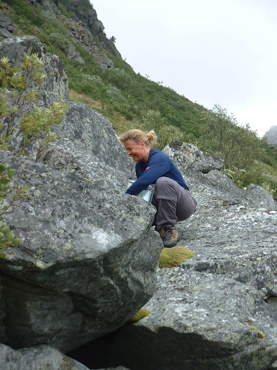
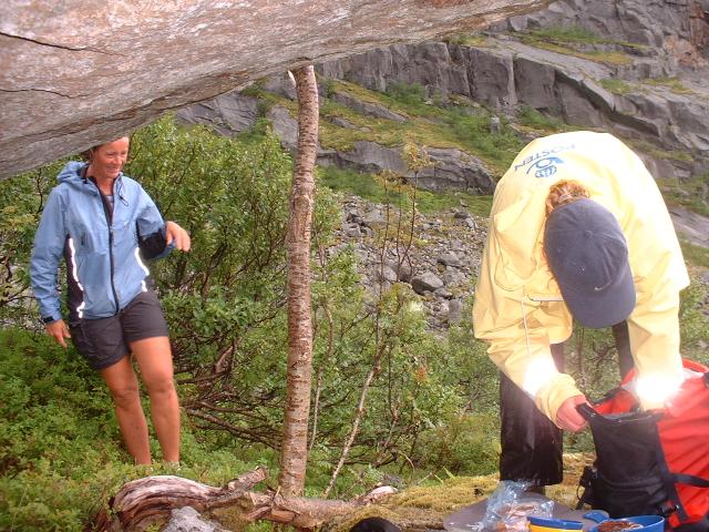
We took a lunch in a natural (rock) cave.
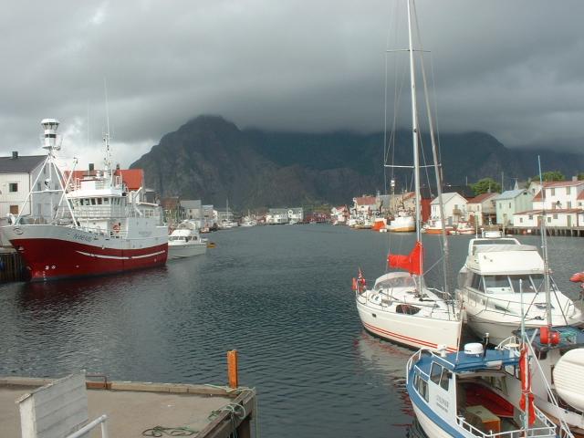
This is the "last" picutre during our stay in Lofoten (my digital camera's
memorycard became full and I didn't have any other). It was Henningsvär's
harbor where we chatted and took a break in a cafe. Here is one of tourist's
sight-seeing spots.
We took a boat from Svolvär at 20:00 and we reached to Narvik at 23:30. Of course there was no train to go back to Kiruna! (What a stupid timetable for tourist!!!) So we've camped in a park in Narvik.