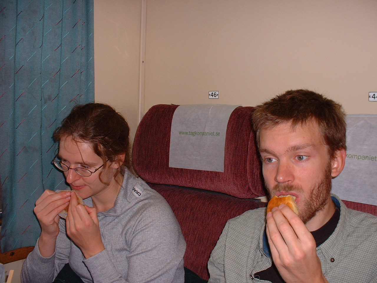
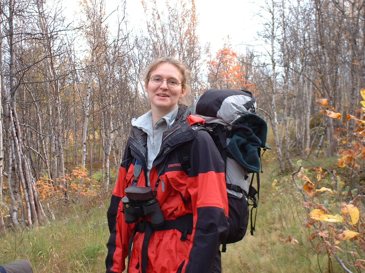
Emma and Micce, who is our colleague and Ph.D student.
Dag 1:a
Emma and Micce, who is our colleague and Ph.D student.
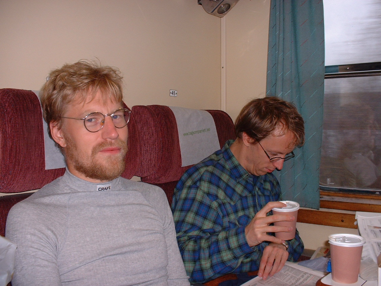
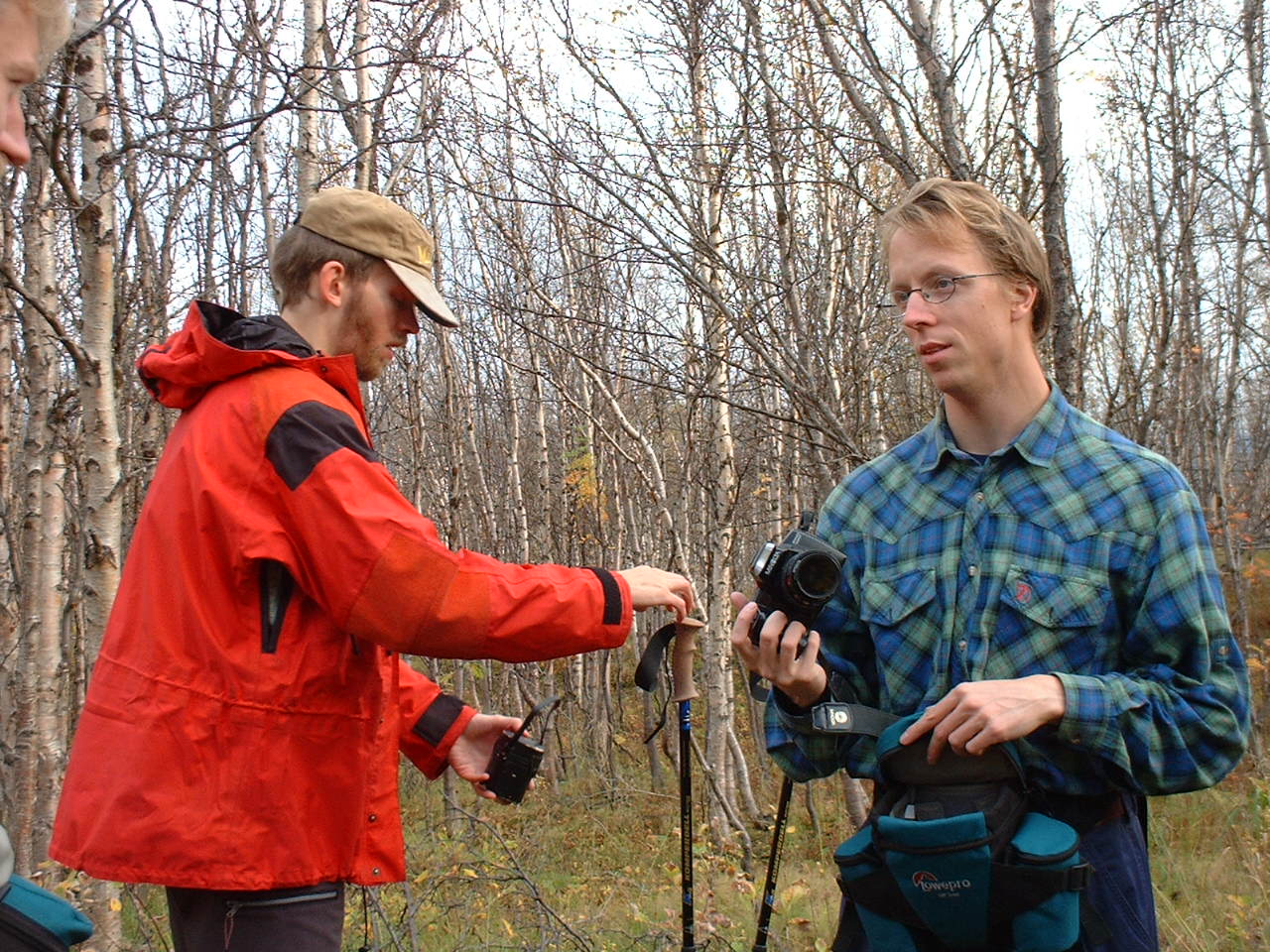
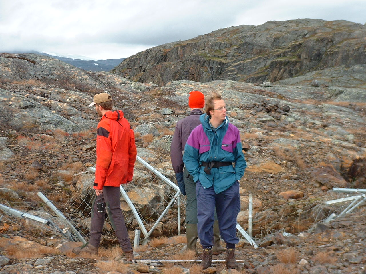
From right, Hans, who is one scientist at IRF, and Johan.
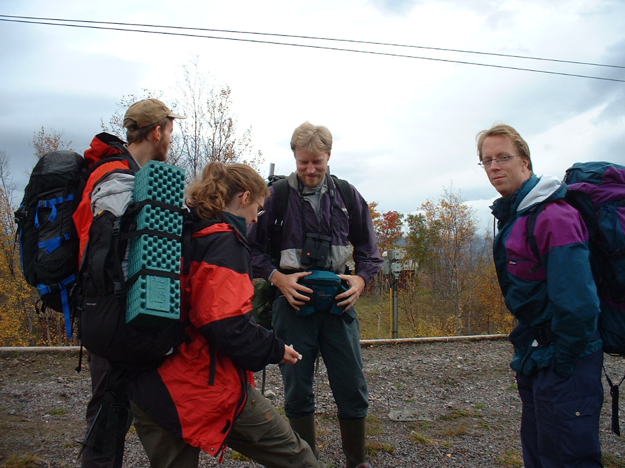
We arrived at Laaktatjaakka railway station.
We found a hawk-owl!
It was cloudy, little bit chilly and rainy weather. But, anyway,
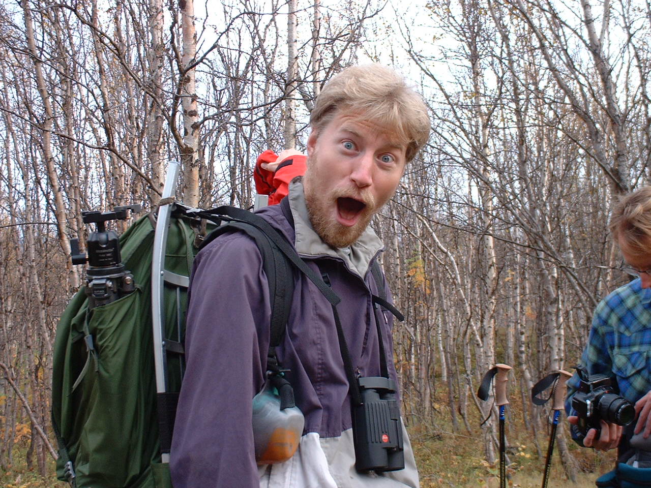
we started to walk with pep!
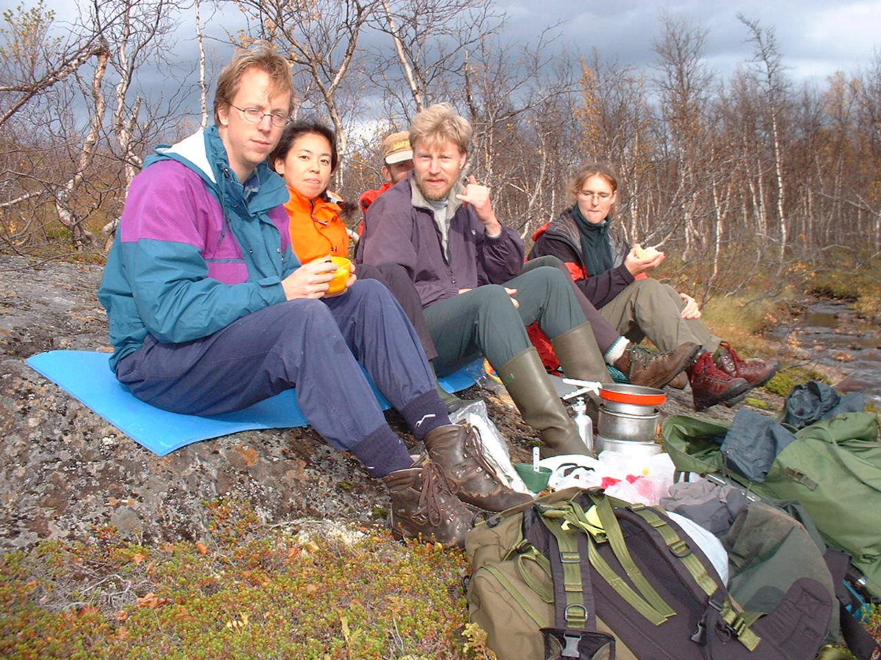
We took lunch beside a small stream.
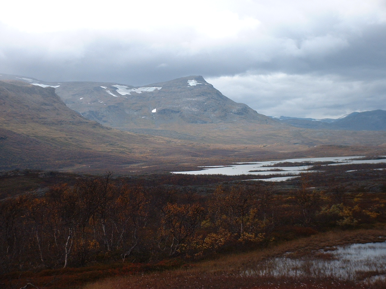
Thick clouds lie over mountains.
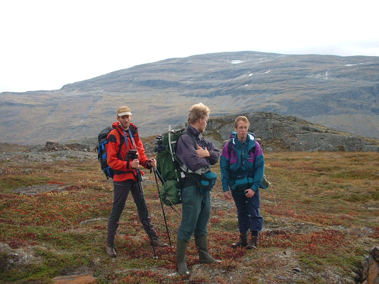
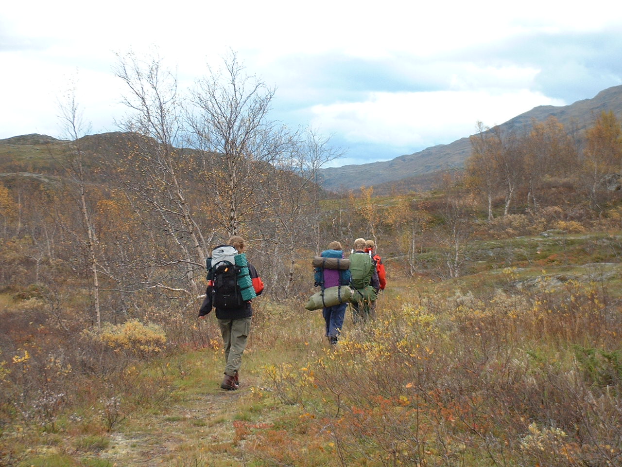
We somtimes took rests under the trail.
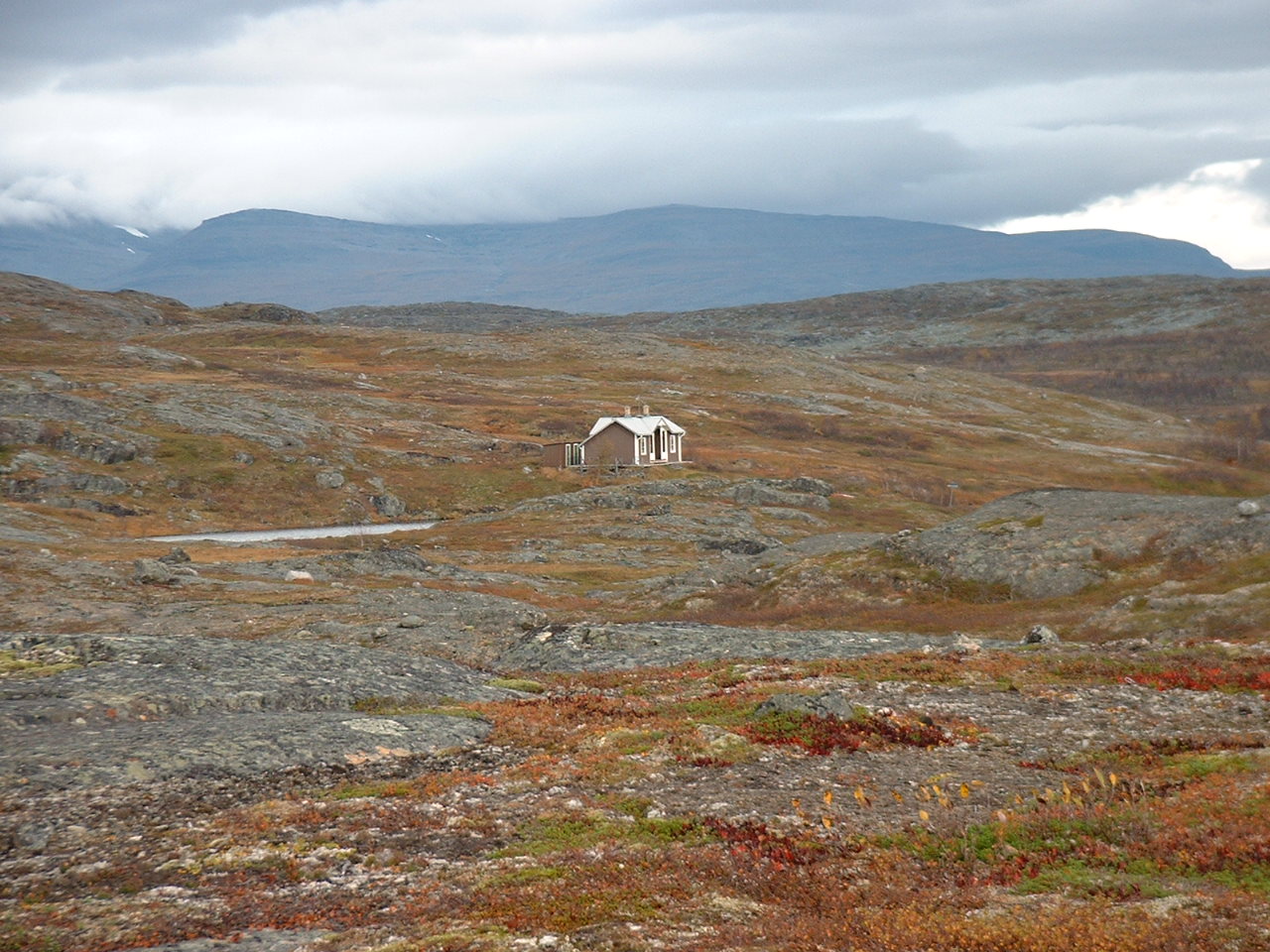
This cottage is standing on the conjunction of trails, beside a little
lake and surrounded by many marks of cupper mine.
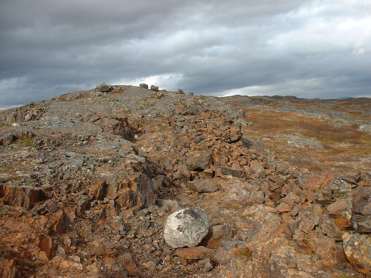
This cupper mine, had been called "Kuokkel", was existing only during
1898 - 1904. digged place/the biggest shaft/Emma is standing at the
barracks' mark.
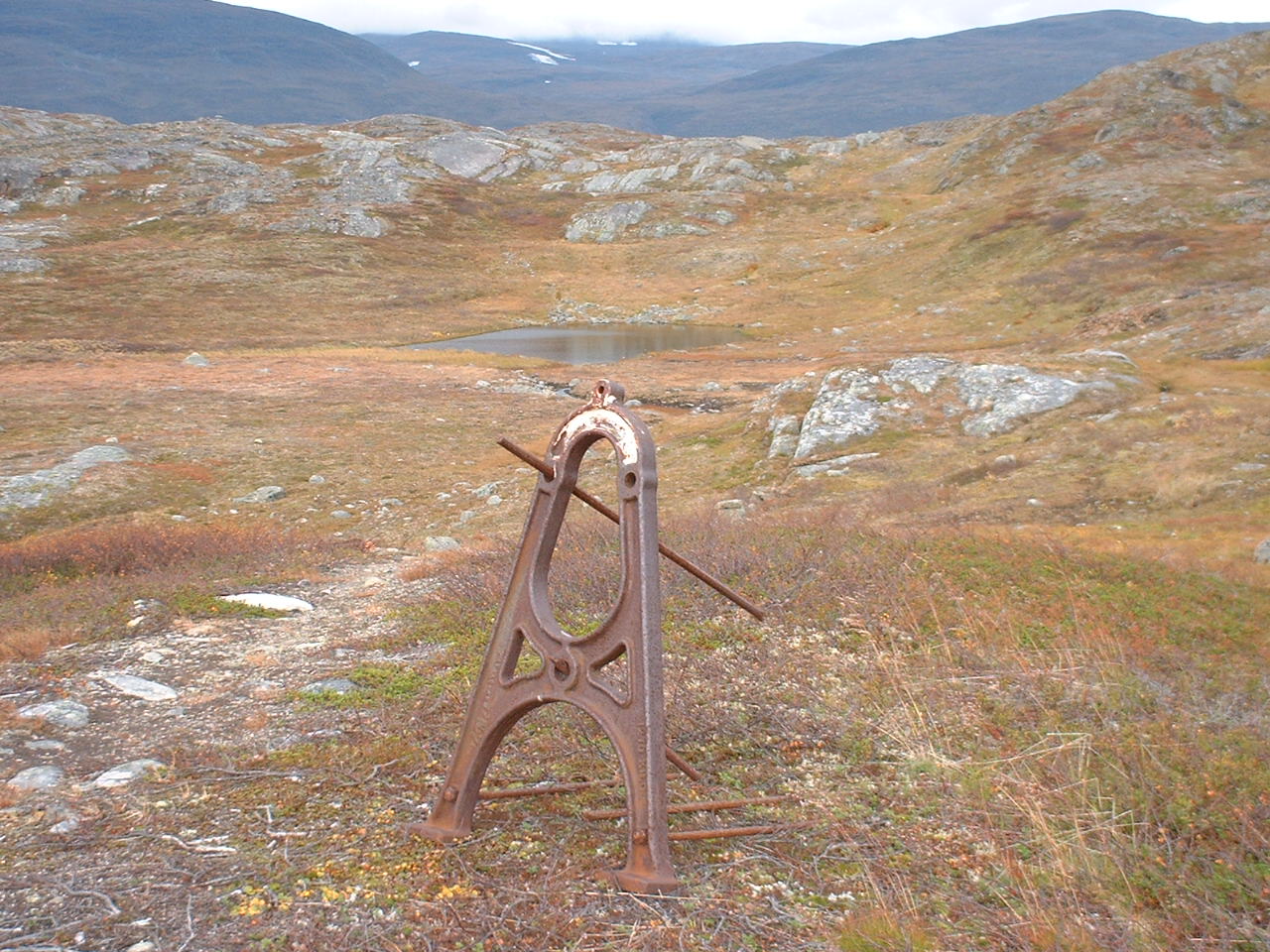
Remains are standing here and there like this.
...After we took the small trail toward the Torne Lake, we've missed the trail and marking both...
Dag 2:a
It began with rainning on Sunday. But couple of hours later, blue sky appeared
gradually and became clear and clear.
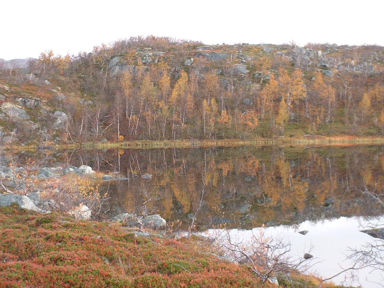
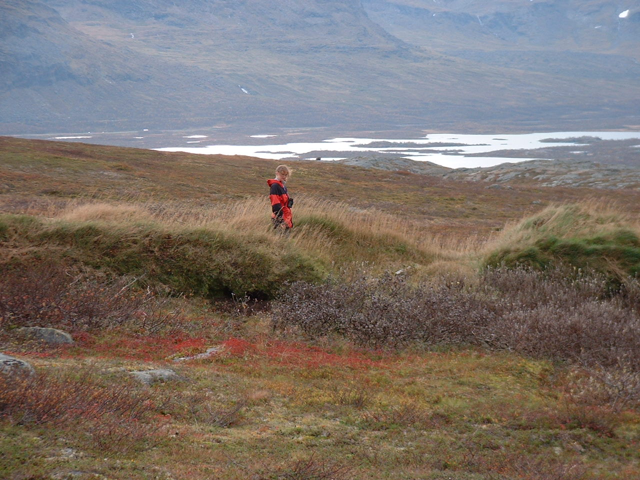
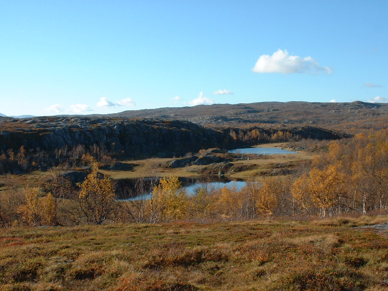
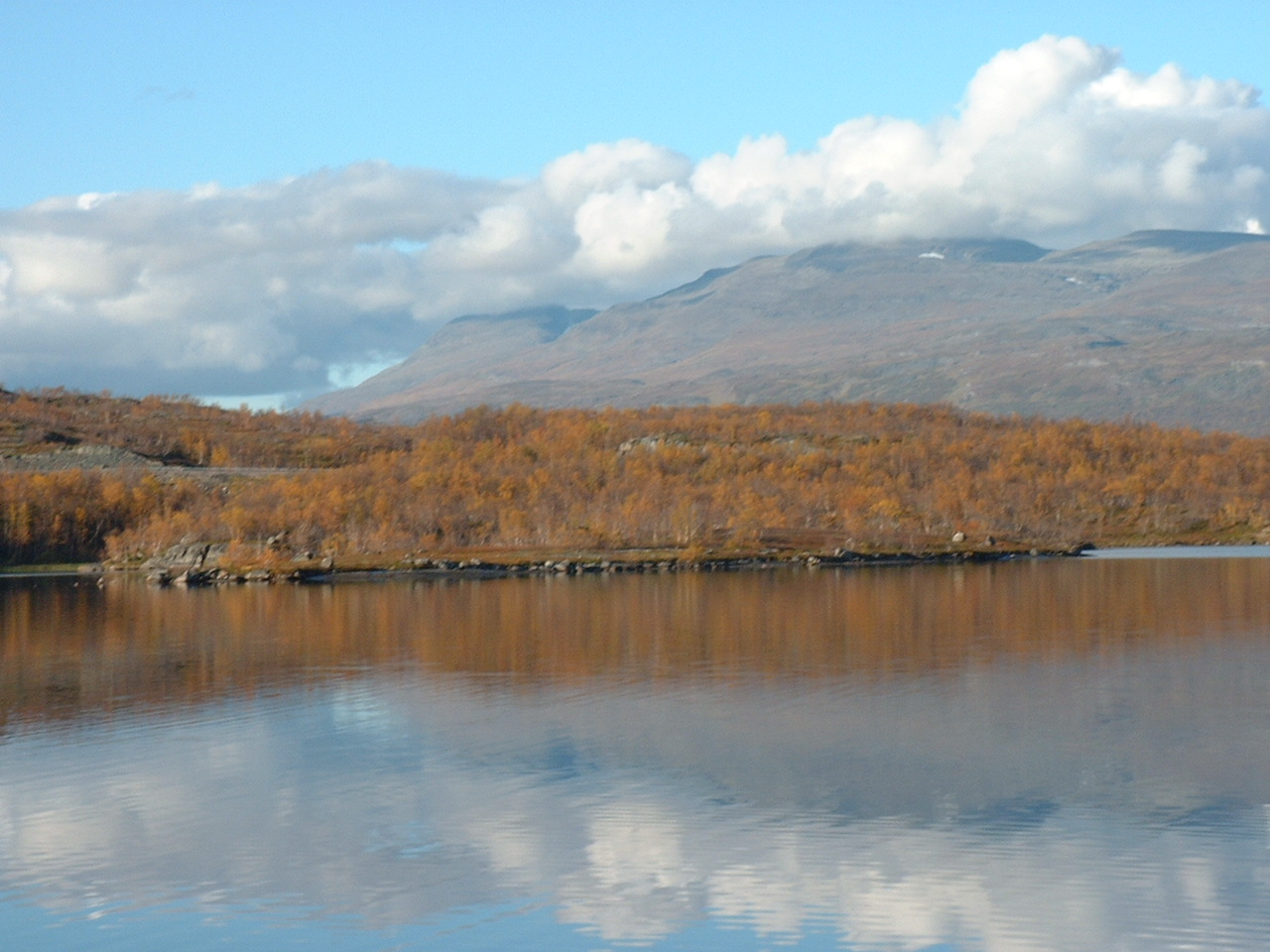
This is one scene of the fall.
A lake reflects the blue sky...
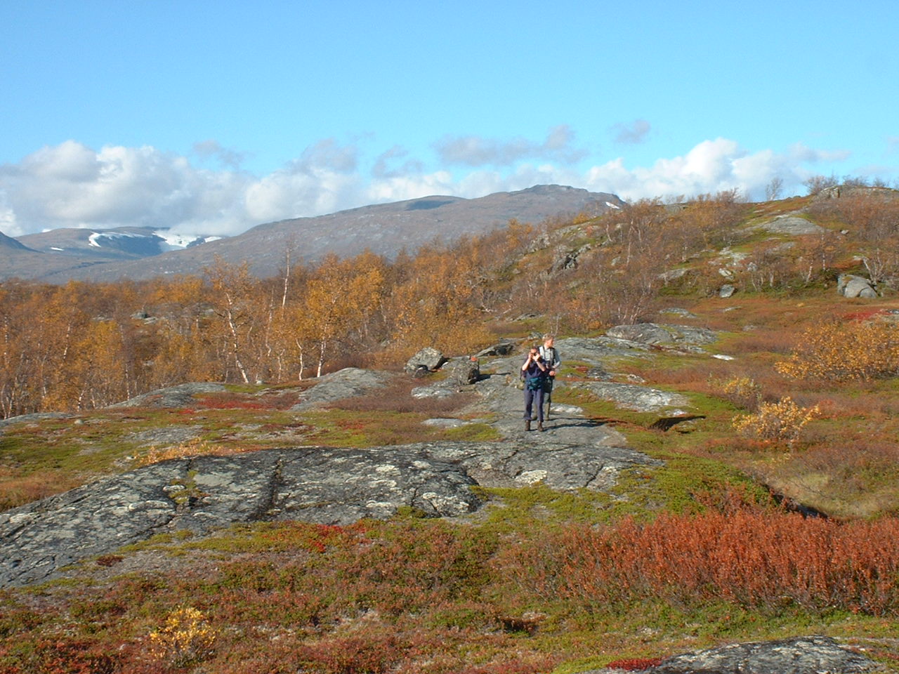
We were still seeking the trail...
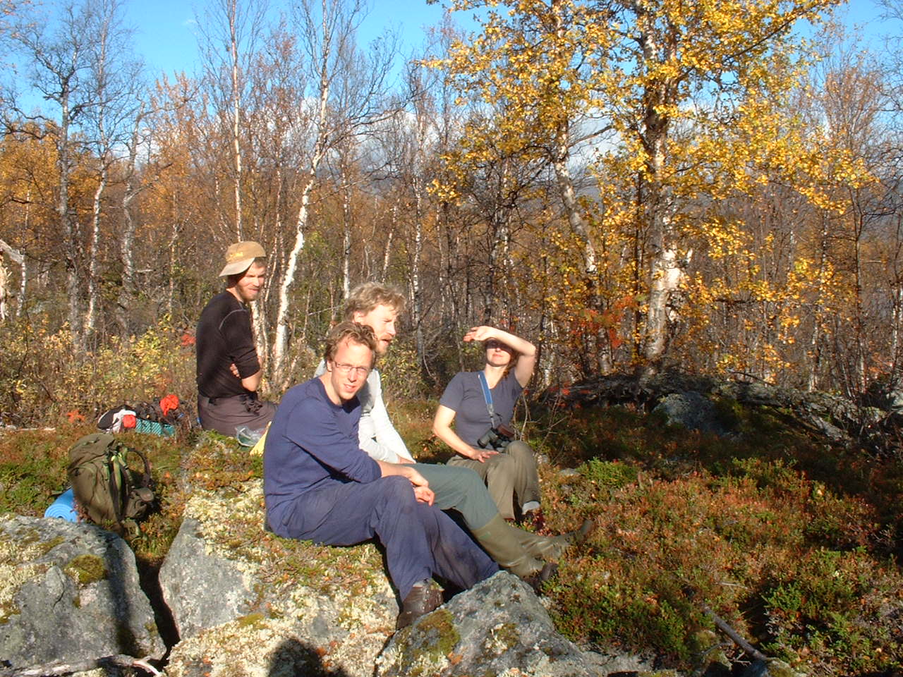
At last we found the trail and took a break.
...And it became sunny, and dazzling.
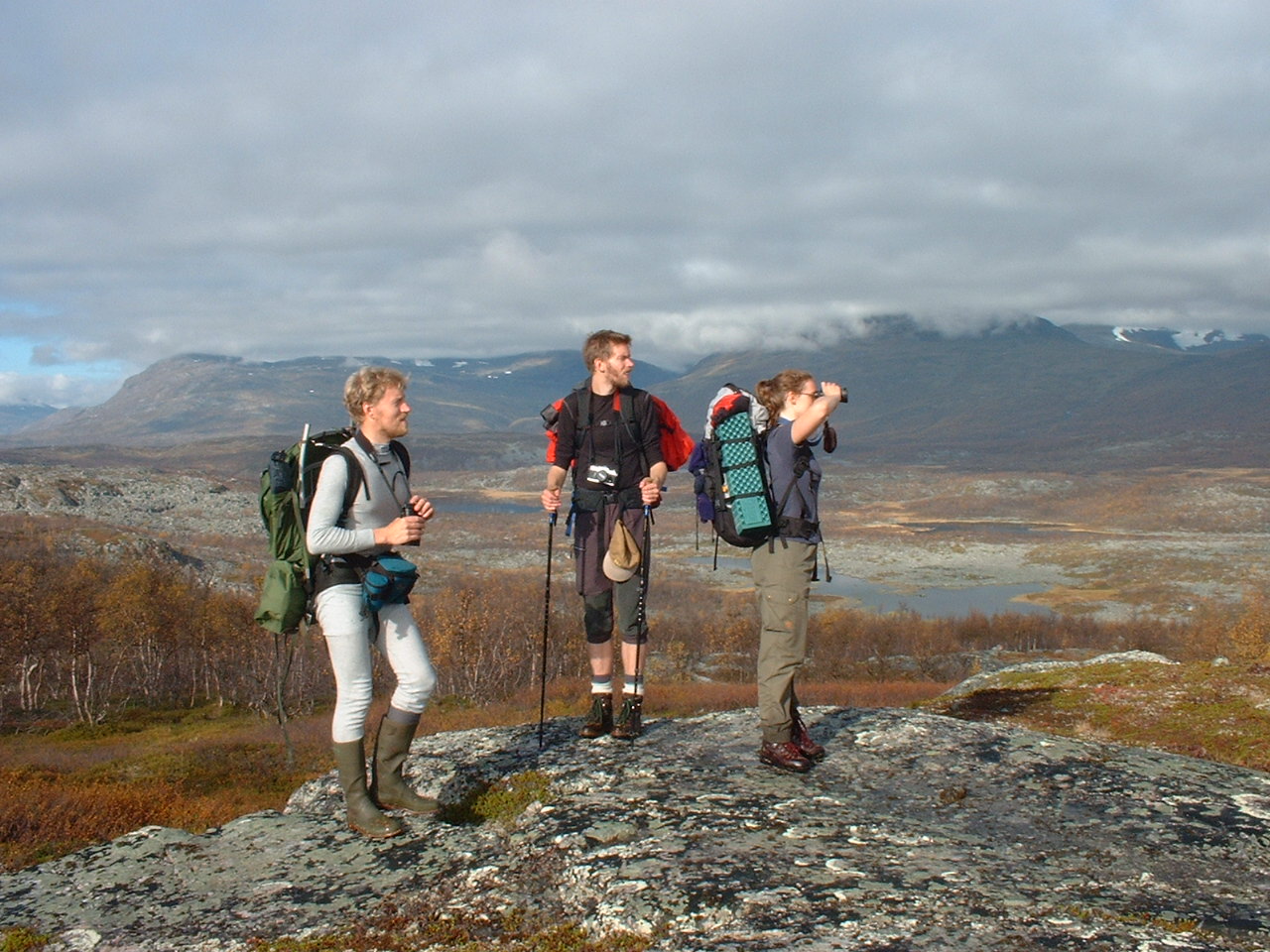
...And taking a rest a little bit longer...
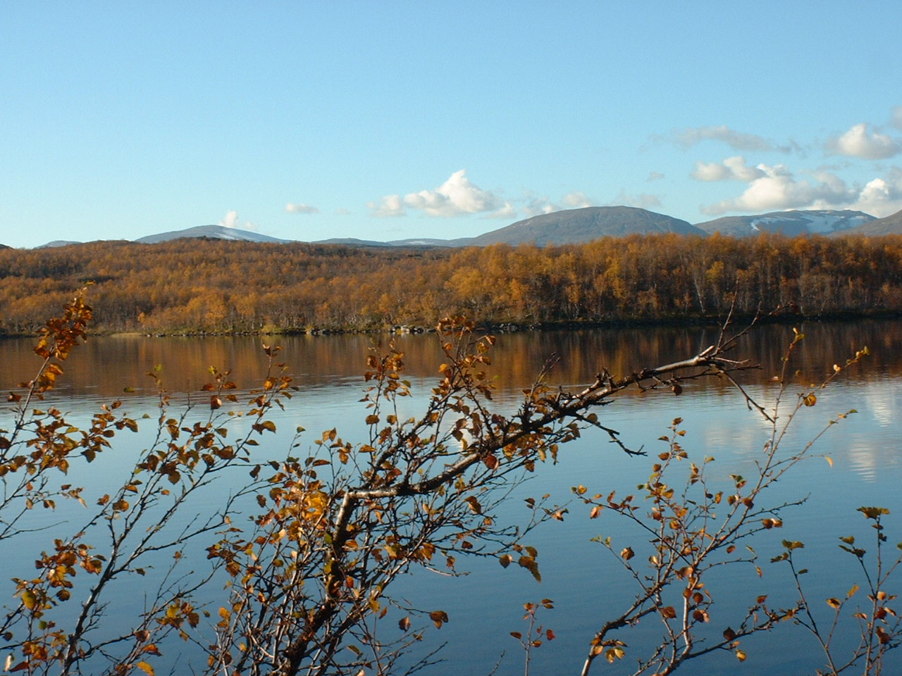
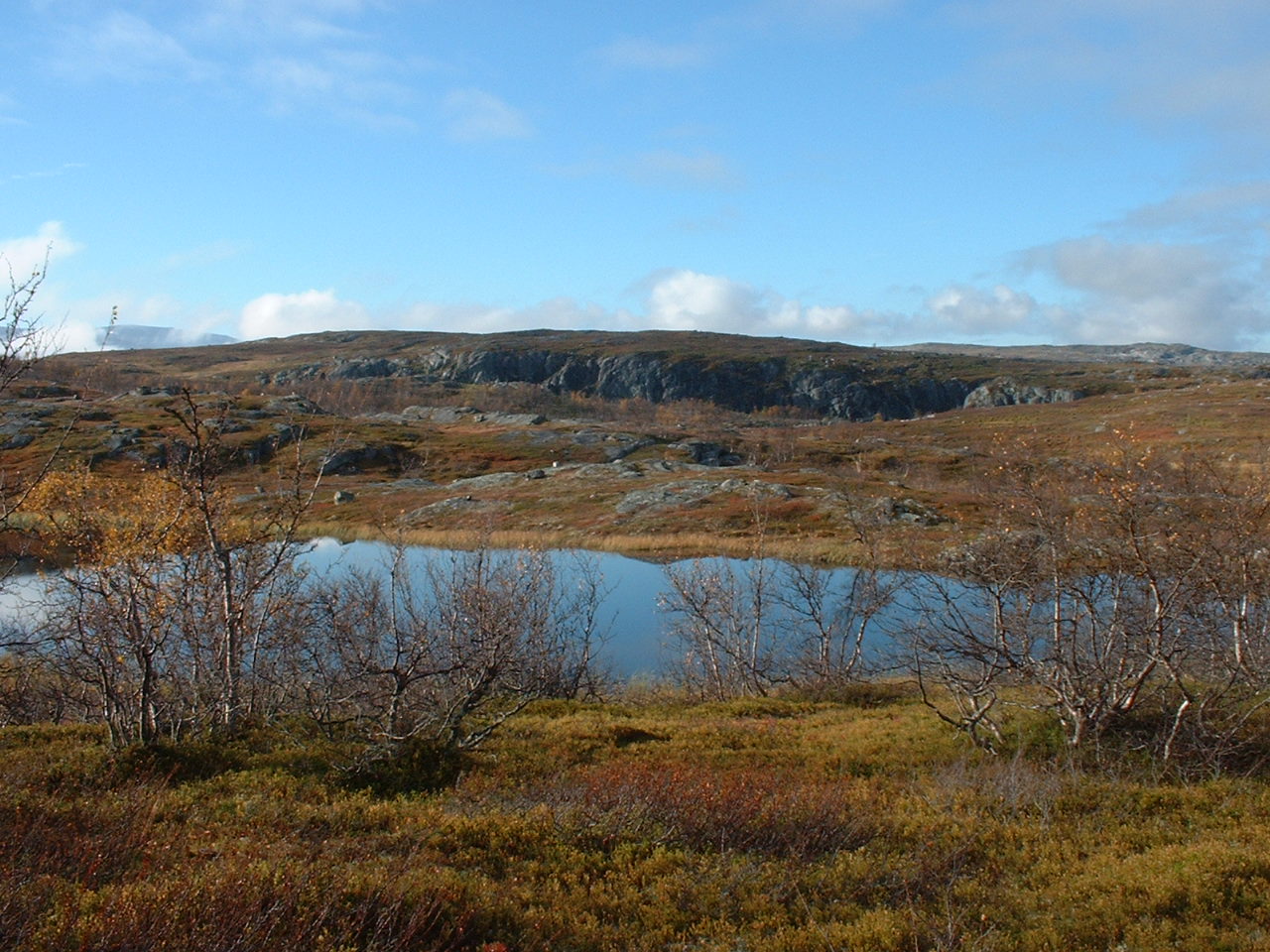
These such lakes lie beside the E10, actually.
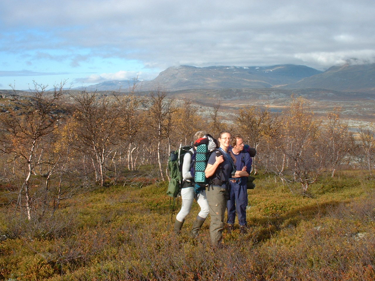
We were on the last part of the trail.
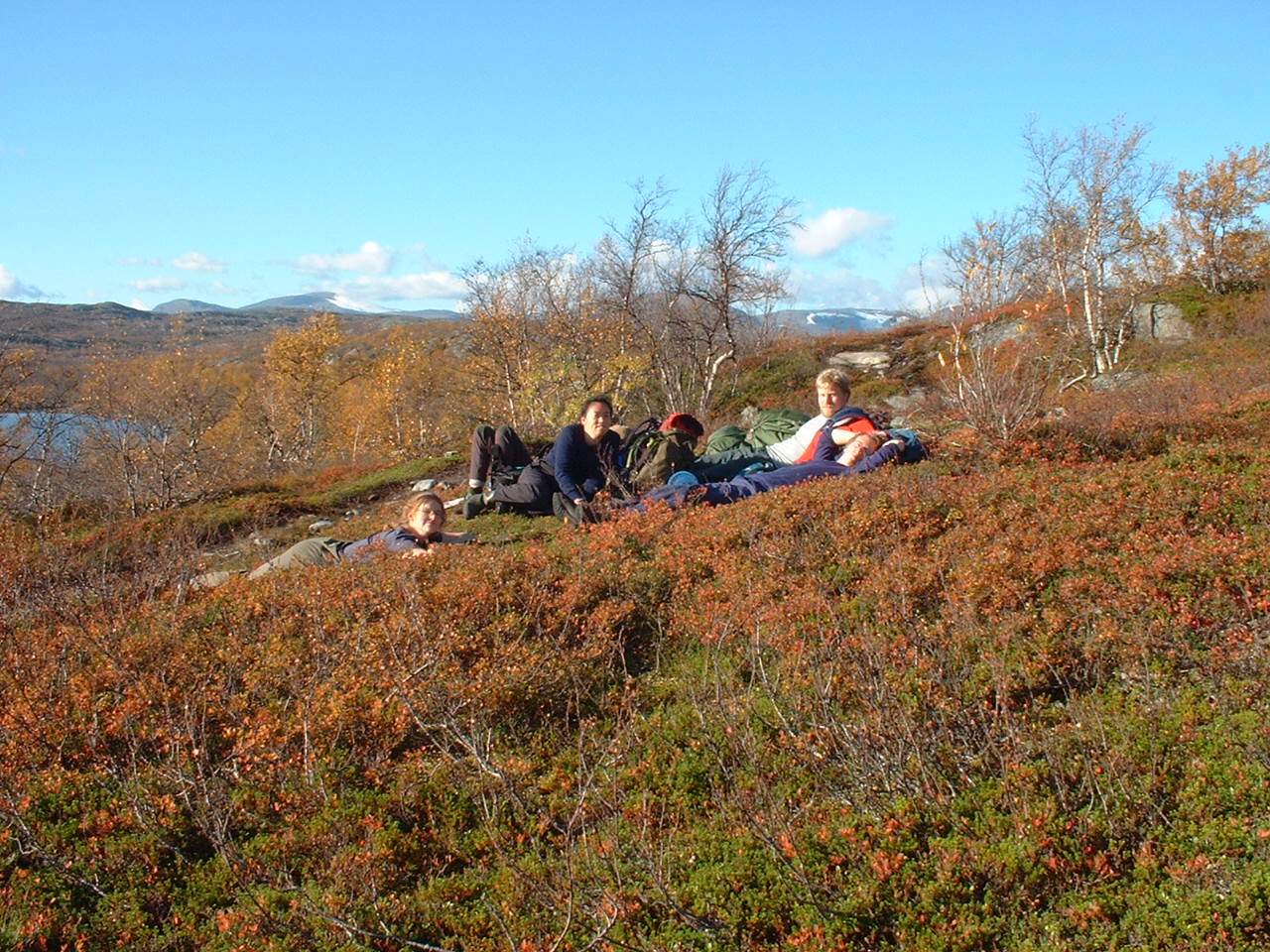
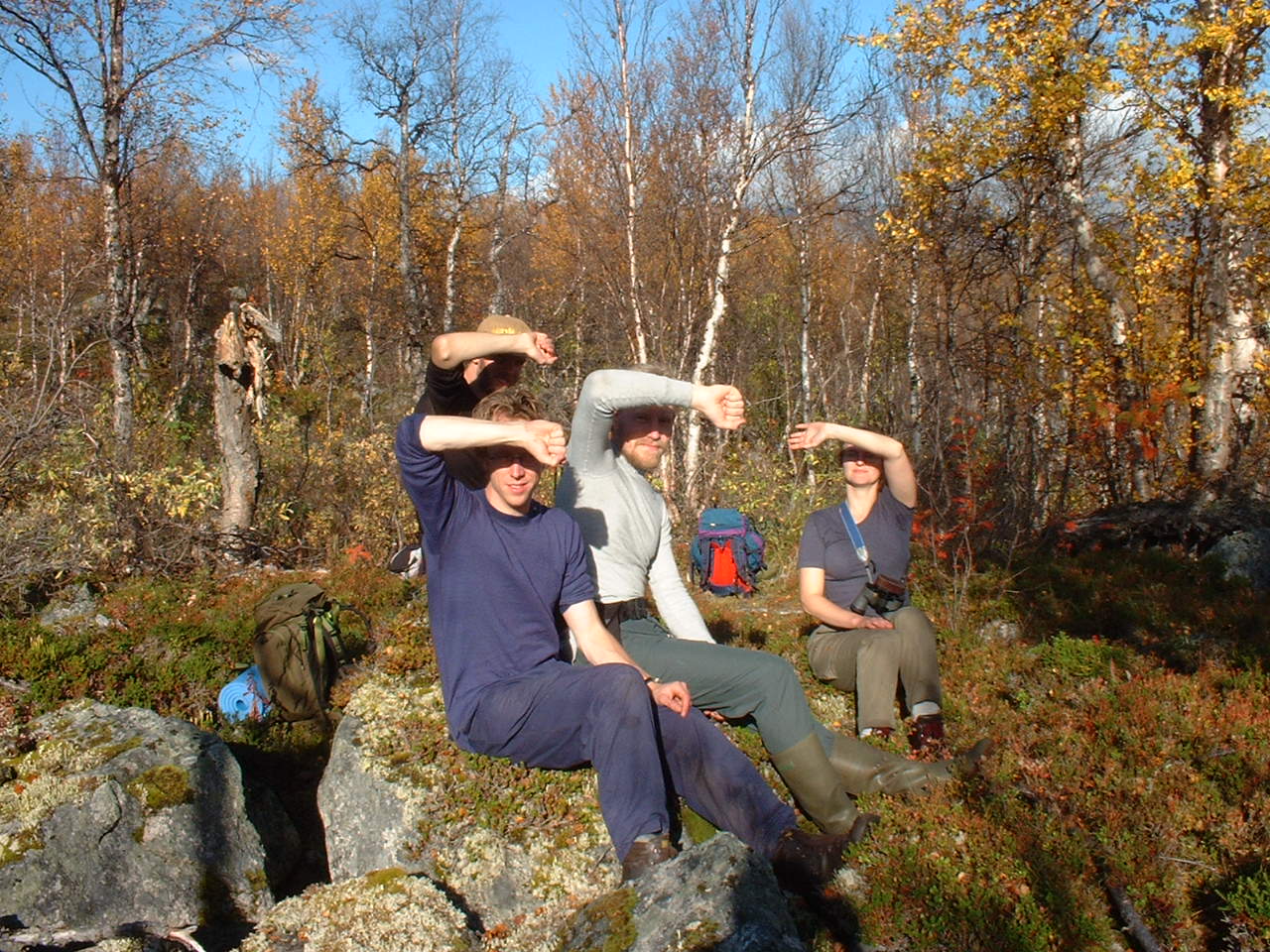
...And relaxing on the grass.
Extra
Tornehamn, from the "rails-road".
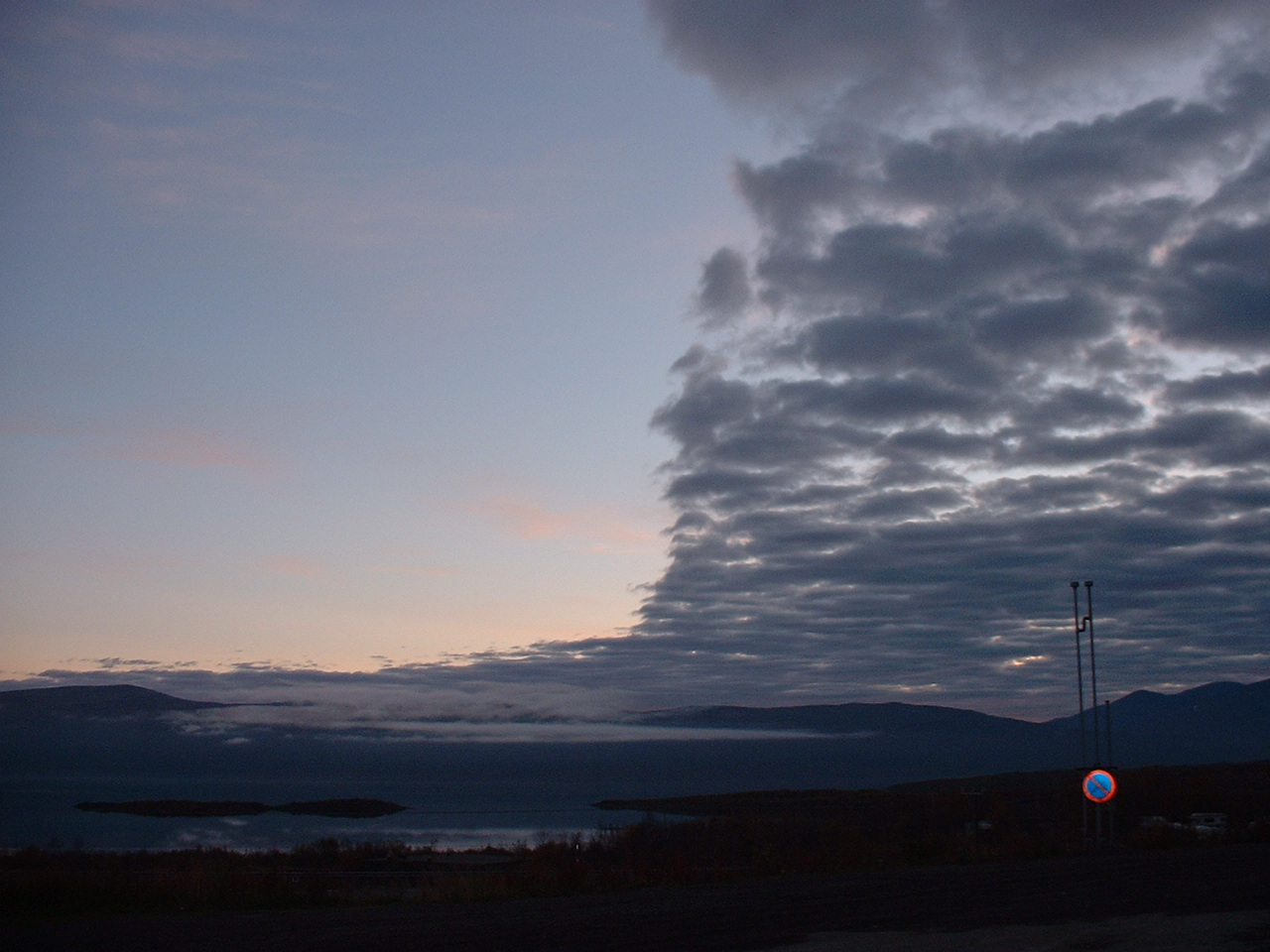
A strange structure of cloud. The left side is Abisko.